THE COURSE
Click "see more" button for full view at FatMap
Click this blue button on the map for the full Flyover of the course!

Distance: 33.74 miles
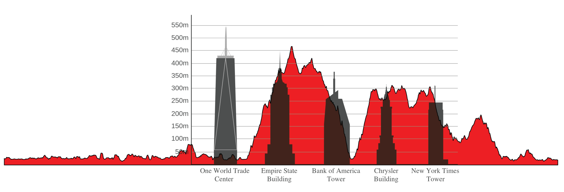
Total Ascent: 6,587 feet
Lowest Point: -3.3 feet (at 7.14 miles)
Highest Point: 1,528 feet (at 17.4 miles)
Uphill 12.8 miles: (38.4%)
Downhill 13.1 miles: (39.2%)
Flat: 7.5 miles (22.4%)
Max. Height Gain: 1,532 feet
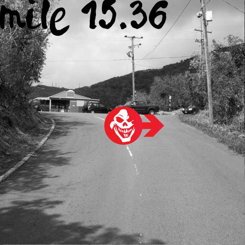
Steepest Uphill: +33.3% (at 15.4 miles)
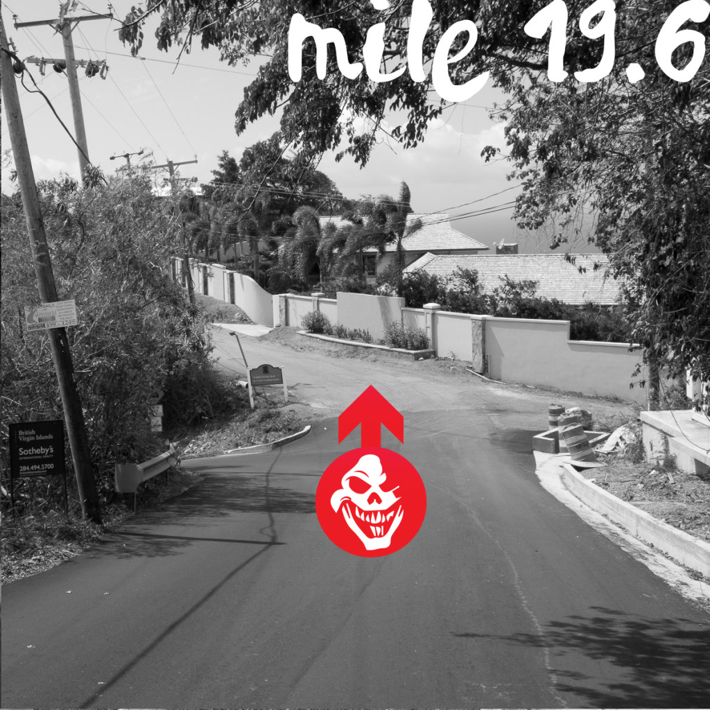
Steepest Downhill: -36.7% (at 19.5 miles)
Longest Uphill: 2.7 miles (at 15.1 miles)
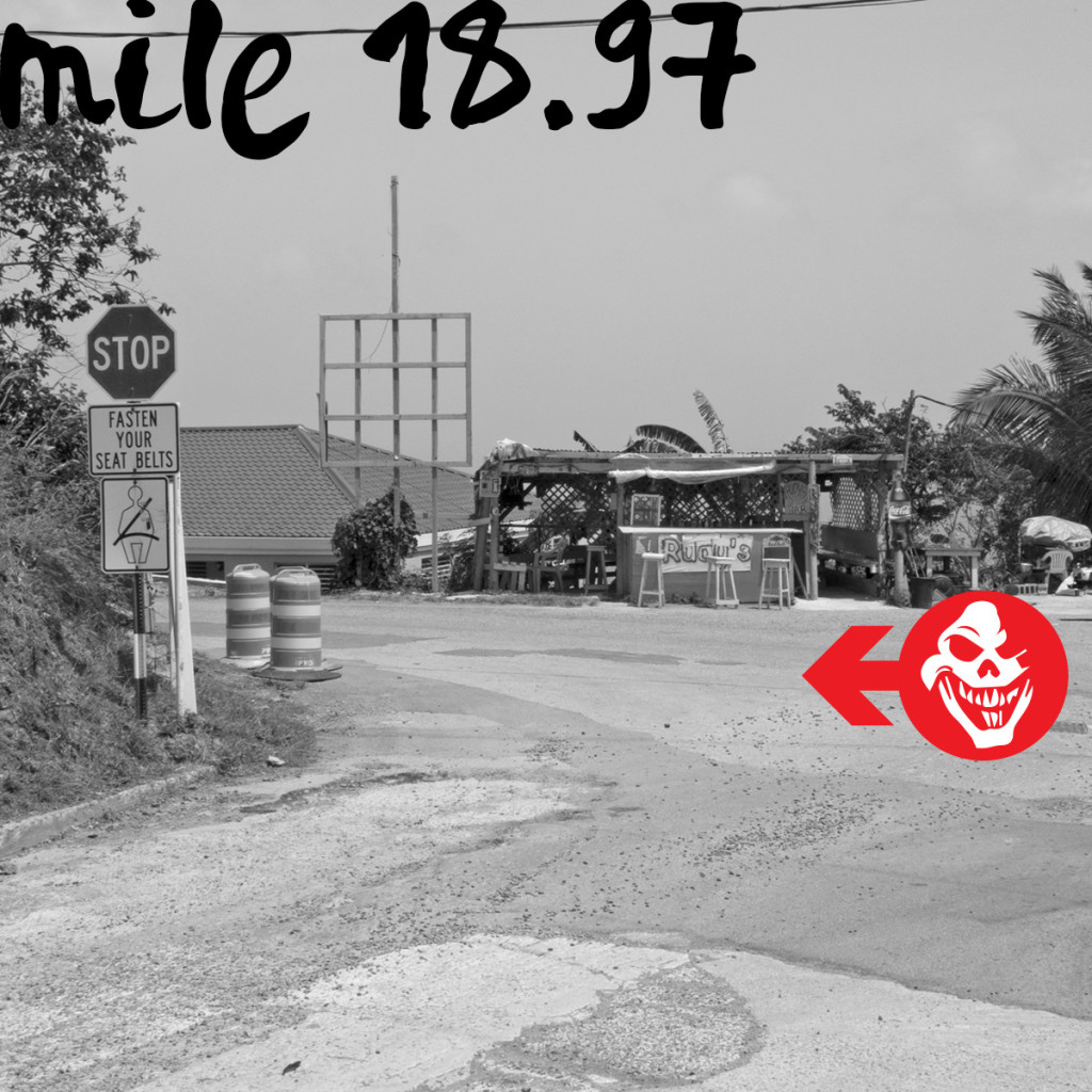
Longest Downhill: 1.9 miles (at 19 miles)
WATER STOPS
- KPMG West End Aid station (3 person team changeover)
- Mourant Stoutt’s Lookout Aid Station
- Teneo Sage Mountain Aid Station (2 person team changeover)
- Brewer's Bay
- Harmony Yoga Georges' North Side Aid Station (3 person team changeover)
- Little Bay Aid Station
Finish - Trellis Bay
DISTANCE BETWEEN WATER STOPS
Distances between water stops after West End stop:
West End to Stoutt´s Lookout 4.5 Miles
Stoutt´s Lookout to Sage Mountain 2.9 Miles
Sage Mountain to Brewer´s Bay 4.8 Miles
Brewer´s Bay to George´s North Side 3.4 Miles
George´s Northside to Little Bay 4.6 Miles
Little Bay to Finish 4.5 Miles


